

Visakhapatnam: Bay of Bengal Storm Brews: Heavy Rains Loom Over Telugu States
Low Pressure System Forming
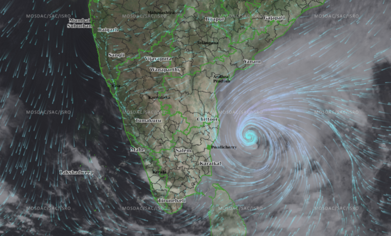
The India Meteorological Department (IMD) forecasts a low-pressure area forming over the Bay of Bengal on September 13, 2025. This system is expected to move west-northwest, impacting Andhra Pradesh, Odisha, and Telangana with widespread rainfall through the end of September.
Immediate Weather Outlook
Over the next four days, parts of Andhra Pradesh are likely to experience light to moderate rainfall. Districts such as Anakapalli, Vizianagaram, Parvathipuram Manyam, Visakhapatnam, and Alluri Sitharama Raju reported similar conditions on Friday.
Recent Weather Patterns
On Friday, rising temperatures and humidity were recorded in areas like Kakinada, Narsapuram, Machilipatnam, Gannavaram, Bapatla, Kavali, and Nellore, with maximum temperatures 2-4°C above average. The IMD attributes this to lingering heat before the onset of the low-pressure system.
Heavy Rainfall Warning
Heavy rainfall is anticipated in North Coastal Andhra Pradesh and Rayalaseema by Wednesday and Thursday. The IMD has issued alerts for potential disruptions in these regions due to intense precipitation.
Regional Weather Influences
A severe low-pressure system over Madhya Pradesh and Rajasthan is expected to intensify into a cyclonic storm by Sunday, moving toward Rajasthan and Gujarat. This could indirectly influence monsoon dynamics in southern India, including Telangana.
Key Impacts
- Affected Areas: Andhra Pradesh, Telangana, Odisha.
- Duration: Widespread rains expected through late September.
- Risks: Potential flooding and disruptions in coastal and low-lying areas.